Wakkanai is as far north as you can go in Japan without leaving the country. Cape Soya, 30 kilometres east of the city, marks the northernmost point of the Japanese mainland — on a clear day you can see Sakhalin Island (Russia) across the strait, 43 kilometres away. Getting here takes commitment: it is 5 hours from Sapporo by car, 5.5 hours by train, or a short domestic flight. Most visitors to Hokkaido never make it this far.
In This Article
Those who do find a sparse, wind-scoured landscape that feels more like northern Scotland than Japan. Dairy farms, coastal cliffs, fields of wildflowers in summer, and two offshore islands (Rishiri and Rebun) that are among the most beautiful and least-visited destinations in the country.
Wakkanai

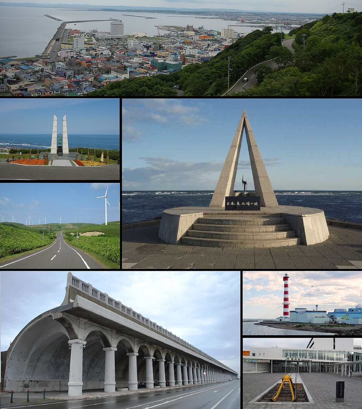
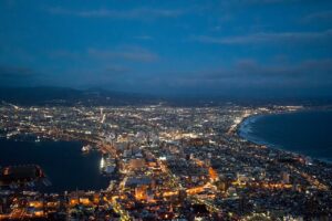
The city itself is small and functional — a port town of 35,000 people that exists primarily as a gateway to the northern coast and the islands. There is not a lot to do in town beyond eating fresh seafood (king crab and uni are the specialties) and visiting the North Breakwater Dome, a striking Art Deco-era structure designed to shelter the port from harsh northern winds.
The real draws are outside the city.
Cape Soya (Soya Misaki)

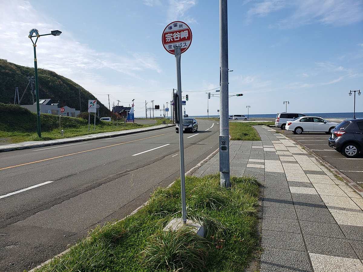
The northernmost point of Japan. There is a monument, a souvenir shop, and on clear days, the view across the La Perouse Strait to Sakhalin. It is one of those places that is more about the idea than the visual experience — you have reached the end of Japan, the edge of the map. Some visitors find that meaningful. Others take a photo with the monument and wonder why they drove an hour for this.
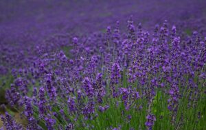
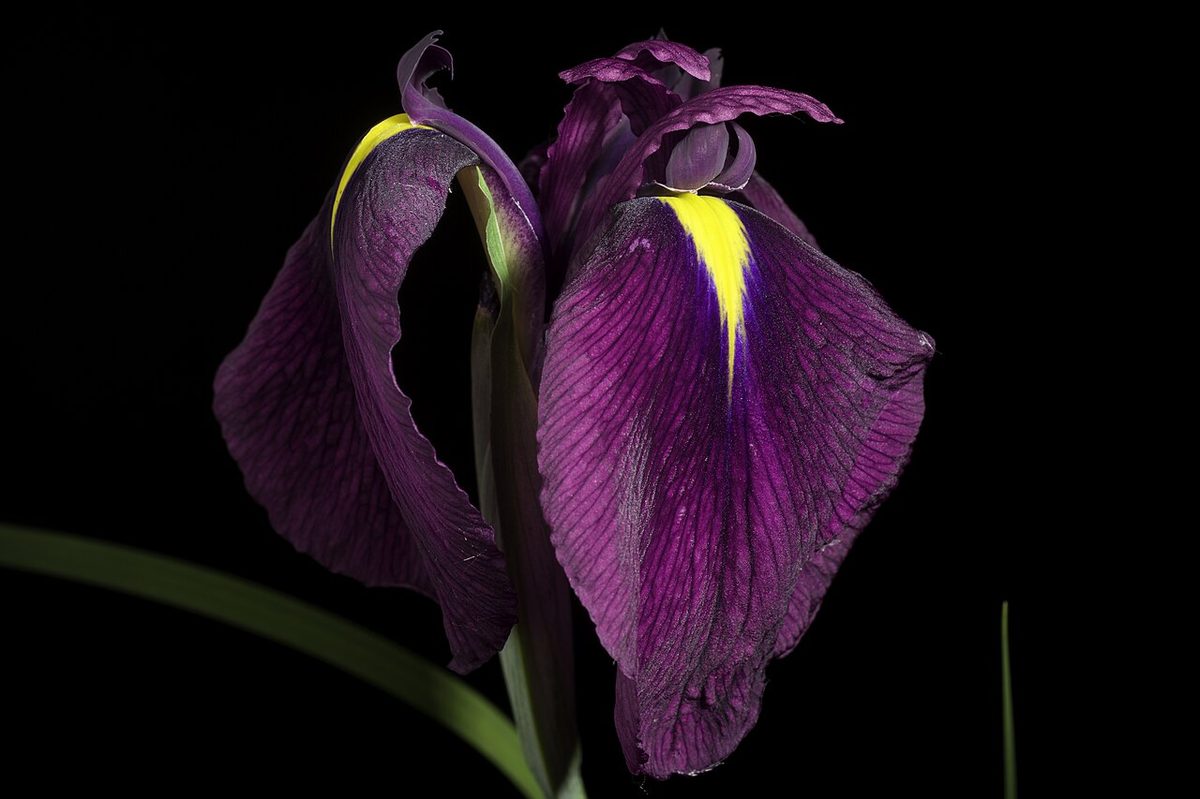
The drive from Wakkanai (30 minutes) follows the coast and is scenic in its own right. In summer, the roadside wildflowers are striking against the grey sea.
Sarobetsu Wetland

A vast peatland south of Wakkanai that blooms with wildflowers from June through August. Boardwalks cross the wetland, and on clear days the volcanic cone of Mount Rishiri is visible across the water. Less dramatic than the flower fields of Furano but wilder and with virtually no other visitors.
Rishiri Island
A near-perfect volcanic cone rising 1,721 metres straight out of the sea, 20 kilometres offshore from Wakkanai. Rishiri-Fuji (as it is called for its resemblance to Mount Fuji) is the centrepiece of Rishiri-Rebun-Sarobetsu National Park and one of the most photogenic mountains in Japan.
The island is small (circumference 63 km) and can be cycled in a day. The main activity is hiking to the summit of Rishiri-Fuji (10-12 hours round trip, strenuous) or taking the shorter trails around the base. The coastal scenery — volcanic rock, kelp forests, fishing villages — is beautiful in a stark, northern way.
Rishiri is also famous for its sea urchin (uni) and kombu (kelp). The uni here feed on the kelp and are considered among the finest in Japan. A uni-don on the island, with urchin that was in the water that morning, is a food experience worth the journey. See our seafood guide.
Access: Ferry from Wakkanai (1 hour 40 minutes) or seasonal flights from New Chitose Airport. Ferries run 2-3 times daily in summer, less frequently in winter.
Rebun Island
While Rishiri is the volcanic peak, Rebun is the flower island. Lower and gentler than its neighbour, Rebun is known as the “Island of Flowers” for its alpine wildflowers that bloom at sea level — species that grow only on mountain tops elsewhere in Japan thrive here because of the cool maritime climate.
The island has excellent hiking trails running along the western coast with views across to Rishiri. The 8-Hour Hiking Course (its actual name) traverses the length of the island through wildflower meadows, coastal cliffs, and fishing villages. June and July are peak flower season.
Rebun has fewer facilities than Rishiri — accommodation is mainly minshuku (family-run guesthouses) and a handful of small hotels. The pace is slow, the scenery is beautiful, and the isolation is the point.
Access: Ferry from Wakkanai (1 hour 55 minutes) or ferry from Rishiri (40 minutes). Can be combined with Rishiri in a 2-3 day island-hopping trip.
Getting to Wakkanai
- By car: 5 hours from Sapporo via expressway and Route 40. The drive through central Hokkaido passes through agricultural country with few services — fill up on fuel before leaving Asahikawa.
- By train: JR Limited Express Soya from Sapporo (approximately 5 hours 20 minutes). One of the longest train rides in Hokkaido, through increasingly empty landscapes. Covered by the JR Hokkaido Rail Pass.
- By air: ANA operates flights from New Chitose Airport to Wakkanai (55 minutes). Also seasonal flights to Rishiri Island direct.
When to Go
Summer (June-August): The only practical time for most visitors. Ferries to the islands run frequently, wildflowers bloom, hiking trails are open, and temperatures are comfortable (15-22 degrees). July is peak.
Winter: Wakkanai is bitterly cold (-10 to -15 degrees) with heavy snowfall and strong winds. The islands are largely inaccessible. Ferry services are reduced and can be cancelled by weather. Not recommended unless you have a specific reason.
Is It Worth the Journey?
If you have 10+ days in Hokkaido and want to see something genuinely different from the standard tourist route: yes. The islands are special — Rishiri in particular is one of the most beautiful places in Japan that almost nobody visits.
If you have 7 days or fewer: probably not. The travel time is significant, and the main Hokkaido attractions (Sapporo, Furano, Hakodate, eastern Hokkaido) offer more diverse experiences per day.
If you are a hiker: definitely yes. Rishiri-Fuji and the Rebun 8-Hour Course are among the best hikes in Japan.
For the full Hokkaido route including the north: consider extending our 10-day itinerary to 14 days. For eastern Hokkaido: eastern Hokkaido guide. For planning: first time guide.